Skip to content
One of our research and development projects is MapAIR – a system for multidimensional diagnosis of air pollution using a swarm of drones.
The MapAIR system is a pioneering solution that uses an intelligent network of sensors and unmanned aerial vehicles to manage the environmental protection area in the city, in particular in the field of air quality. The constructed system, by definition, has a significant potential for further development of individual components, depending on the identified needs of the target group, which is, inter alia, public administration.
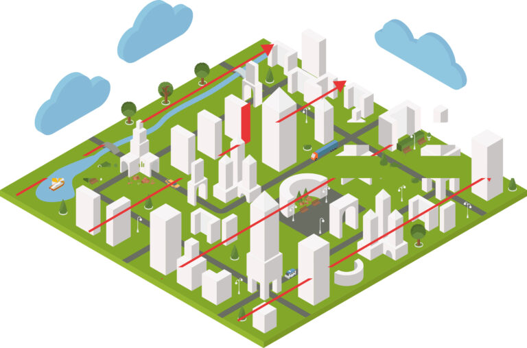
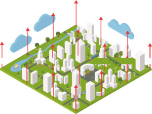
The Smart City idea lies at the heart of the MapAIR system – it introduces wide possibilities in the field of environmental diagnosis in urbanized areas, without the need to generate new transport loads for crowded city arteries.
The tools developed under the MapAIR project allow for the actual management of air quality in urban areas, i.e .:

The stationary system can be installed on buildings or immovable objects such as: intersections, schools, kindergartens, public buildings. Thanks to this, you will find out what the air condition is in the most sensitive places in your city.

The mobile system is used for effective measurement of linear pollution resulting from traffic. Thanks to the installation of a small number of sensors on public transport vehicles, you will get information on the level of air pollution in the agglomeration.

The drone system allows for instant, precise and effective diagnosis anywhere. A swarm of drones will precisely indicate the source of the problem and diagnose its impact on the environment.
* The indicated configurations can be freely combined, thus obtaining a complementary, multidimensional diagnosis of air quality.
The device has been tested and calibrated by an independent research institution, confirming its high quality and correctness of indications. The MapAir sensor is available in three mounting versions that allow for installation in mobile vehicles, stationary facilities and drones. The data from the sensor is sent via a fast LTE link to the Geoportal and can be presented in real time in the form of a map.
The MapAir drone system is a matrix method of measuring air pollution using a swarm of drones. This method indicates the actual source of the emission of harmful and poisonous substances. Simultaneous measurement at many points gives a real image of the source of the problem, eliminating the disturbances resulting from the displacement of air masses. Drones perform three types of measurements: matrix, cylindrical and linear.
Information on the impact of the selected air pollution emitter in the area. Drones spread out horizontally around the selected object.
Three-dimensional air pollution map. Drones positioned in the matrix move vertically.

This is an effective way to create an air map. Drones line up by scanning the air over the indicated area.