 Skip to content
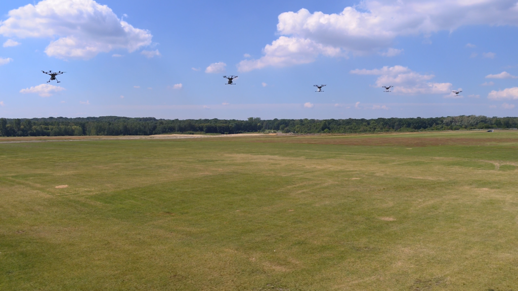
The MapAir drone system is a matrix method of measuring air pollution using a swarm of drones. This method indicates the actual source of the emission of harmful and poisonous substances. Simultaneous measurement at many points gives a real image of the source of the problem, eliminating the disturbances resulting from the displacement of air masses. Drones perform three types of measurements: matrix, cylindrical and linear.
The MapAir drone system is programmed with different flight strategies that can be selected depending on the area where the missions are carried out and the purpose of the measurements. Several typical formations have been defined in which drones will position themselves. The operation of the swarm is maximally simplified – it is piloted by one person using a portable computer. In addition, the system has special anti-collision protection, which means that if another object is identified in the air, the swarm of drones will perform an automatic avoidance in order to avoid it.
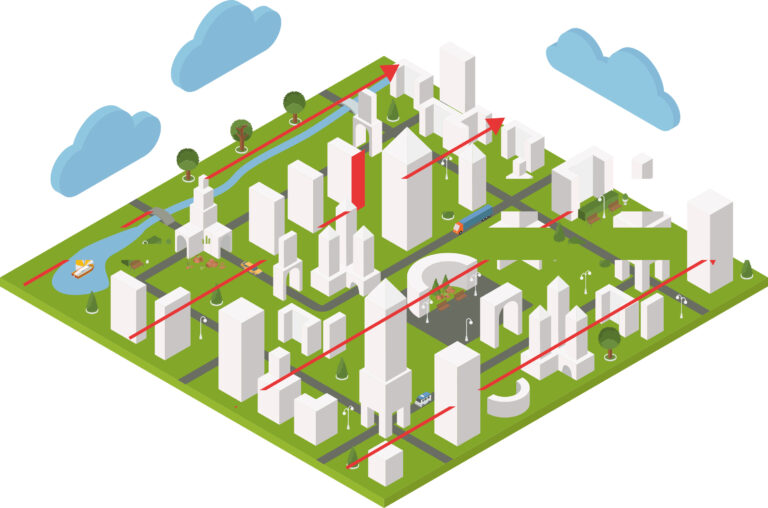
Drones line up and move horizontally to a predetermined point.
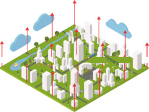
After the start, drones set themselves in the matrix at a given height and move vertically to a certain ceiling

Drones line up in a circle that expands until it reaches a defined radius.